
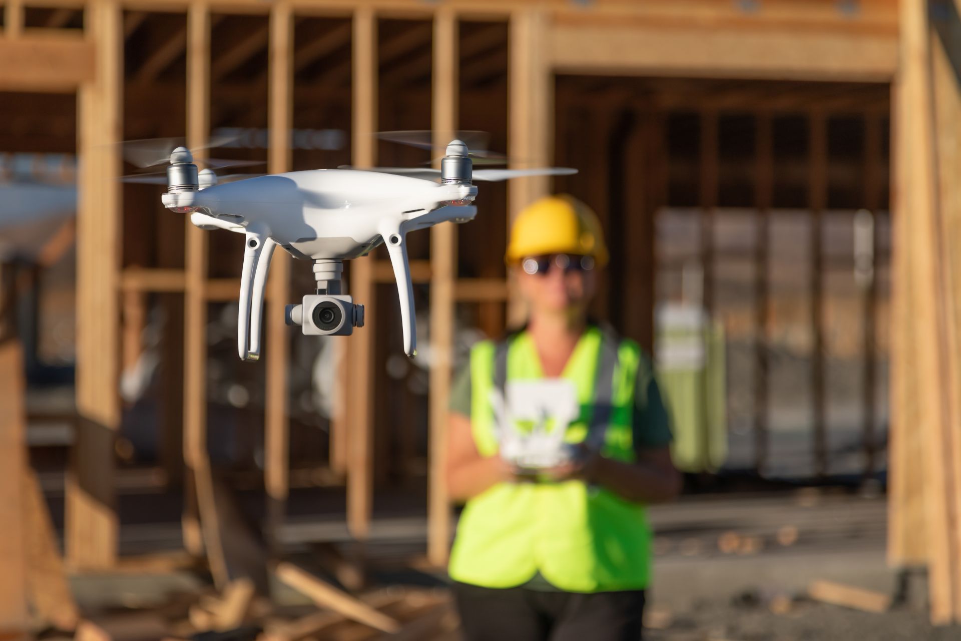
Gain a perfectly perpendicular view of your site or project with Off The Ground's vertical drone photography (Nadir) services. These precise, top-down images provide valuable data for a variety of applications, from surveying and inspections to mapping and 3D modeling.
What is Vertical (Nadir) Photography?
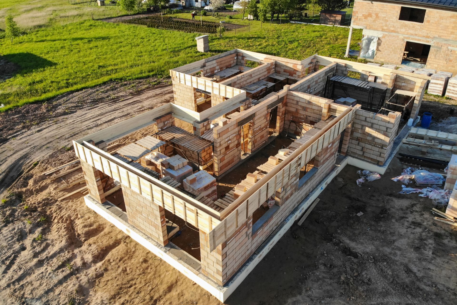
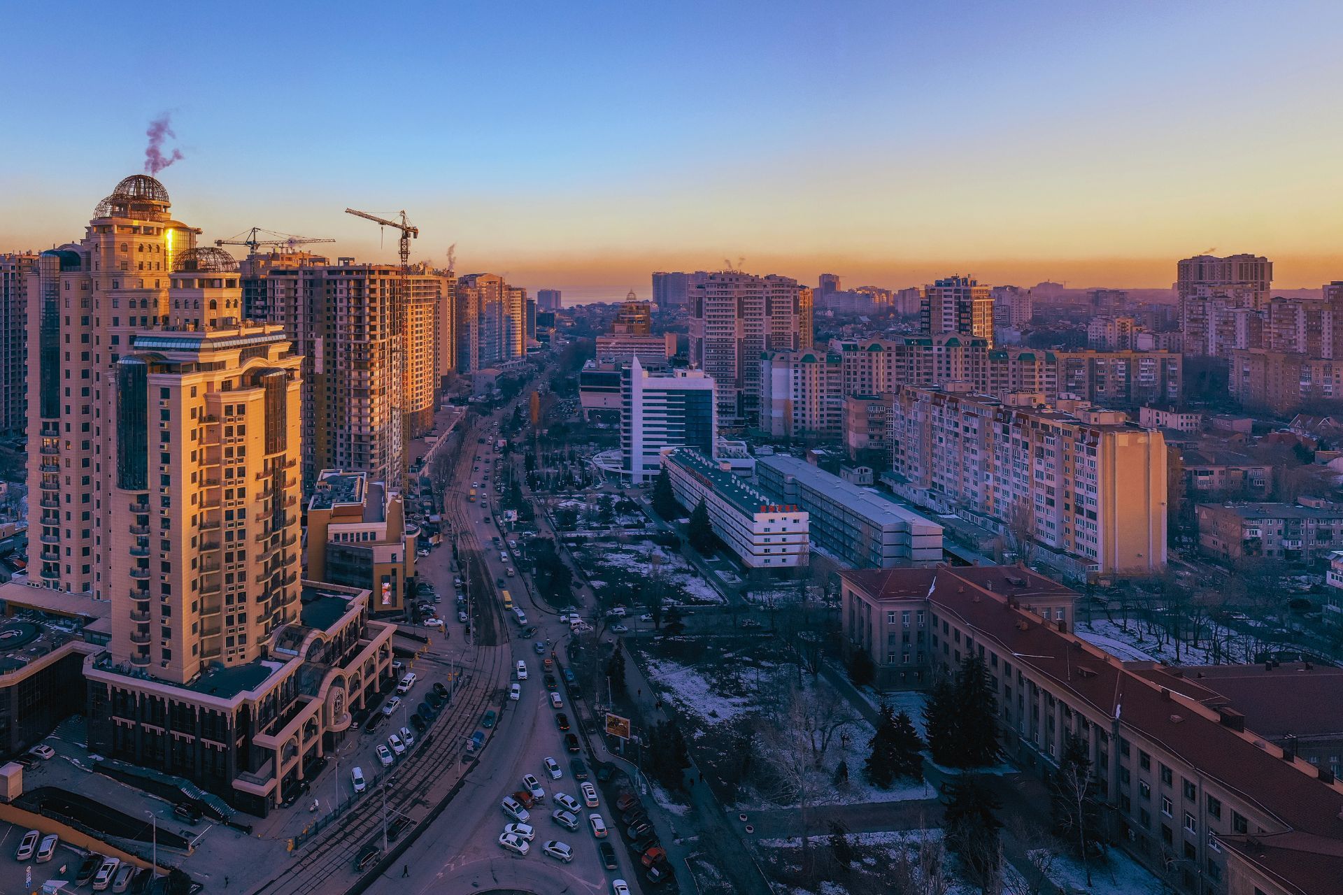
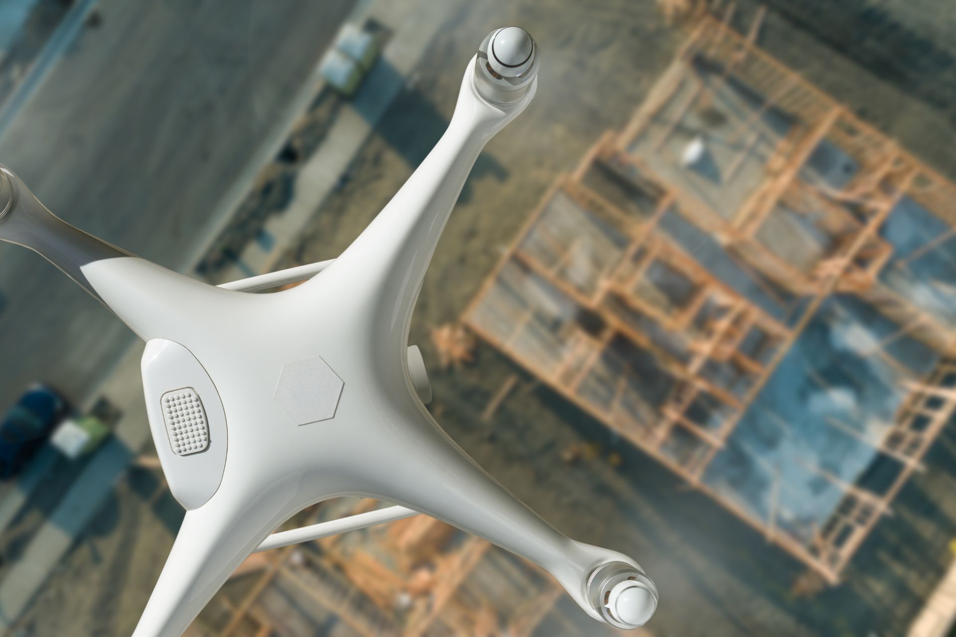
Vertical or Nadir photography involves capturing images directly downwards, with the camera lens pointing perpendicular to the ground. This creates a distortion-free, orthographic view, ideal for accurate measurements and analysis. Unlike oblique aerial photos, which are taken at an angle, Nadir images provide a true top-down perspective.
Benefits of Vertical Drone Photography:
Accurate Measurements:
- Nadir images are ideal for precise measurements of distances, areas, and volumes, crucial for surveying and construction projects.
Orthorectification and Mapping:
- These images can be processed to create orthomosaics (geometrically corrected images) and accurate maps for land surveying, urban planning, and environmental monitoring.
Detailed Inspections:
- Vertical photos provide a clear and comprehensive view of roofs, solar panels, infrastructure, and other assets, facilitating detailed inspections and maintenance planning.
3D Modeling and Analysis:
- Nadir images are essential for creating accurate 3D models of terrain, buildings, and other structures for analysis and visualization.
Data Consistency:
- The consistent perspective of Nadir imagery allows for easy comparison and tracking of changes over time.
What we offer:
1.
High-Resolution Imaging:
- We use advanced drone technology and high-resolution cameras to capture detailed and accurate vertical photos.
2.
GPS Tagging and Georeferencing:
- All images are GPS-tagged and georeferenced, ensuring accurate positioning and integration with mapping software.
3.
Data Processing and Orthomosaic Creation:
- We can process the captured images to create orthomosaics, digital elevation models (DEMs), and other valuable geospatial products.
4.
Customized Flight Plans:
- We develop tailored flight plans to ensure comprehensive coverage of your site and capture the required data.
5.
Fast Turnaround Time:
- We understand the importance of timely data delivery and strive to provide quick turnaround times for all projects.
Where nadir imagery is used:
Land Surveying:
- Accurate measurement of land boundaries, topography, and features
Construction Progress Monitoring:
- Tracking construction progress and verifying adherence to plans.
Roof Inspections:
- Detailed inspection of roof surfaces for damage and maintenance planning.
Solar Panel Inspections:
- Identifying defects and optimizing solar panel performance.
Agriculture and Precision Farming:
- Monitoring crop health, identifying areas of stress, and optimizing irrigation.
Environmental Monitoring:
- Tracking changes in land use, vegetation, and other environmental factors.
What People Say About Us
FabuFit
“Amazing service. Can’t wait to use Off The Ground again.”
Ready for Precise Aerial Data?
Contact Off The Ground today to discuss your vertical drone photography needs. We'll provide you with accurate and reliable data to support your projects.