Infrastructure plays a key role in our daily lives. Roads, bridges, pipelines, and power lines keep communities connected. Keeping these structures in good condition is important. Traditional inspection methods can be slow and dangerous. This is where
drones for infrastructure inspection offer a better way.
The Power of Drones for Infrastructure Inspection
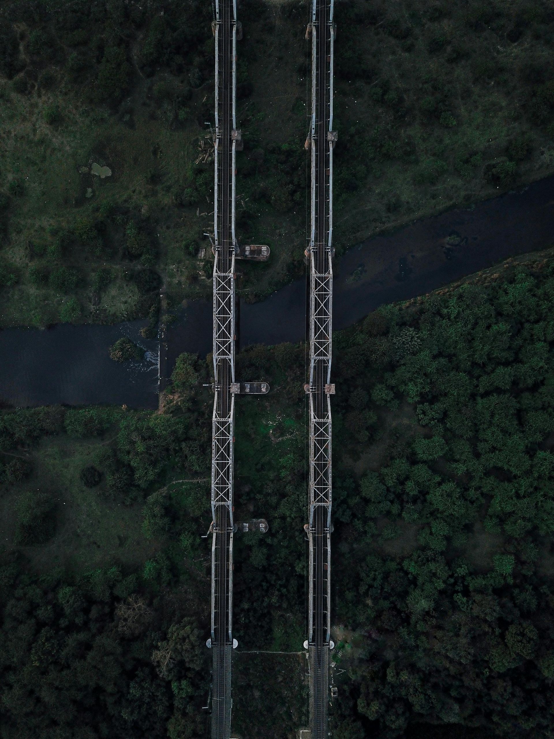
Drones change how we inspect large structures. They offer a safe, fast, and cost-effective method. Drones access areas that are hard for people to reach. This includes tall towers, bridge undersides, and long pipelines.
Key Advantages of Using Drones for Inspections
Using drones for infrastructure inspection brings clear benefits:
- Enhanced Safety: Drones remove the need for human workers to go into risky spots. Inspectors stay on the ground. This lowers the chance of accidents.
- Increased Efficiency: Drones cover large areas quickly. They complete inspections in less time than traditional methods. This saves time and money.
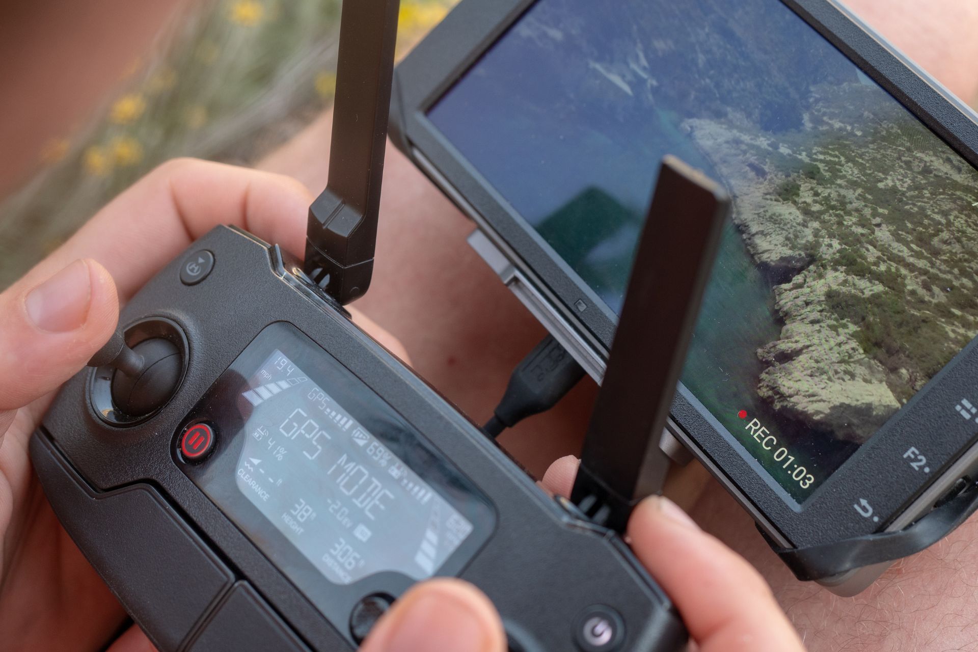
- Detailed Data Collection: Drones carry high-resolution cameras and sensors. They capture detailed images and videos. They can also use thermal imaging to find hidden problems like heat spots or leaks. LiDAR sensors create precise 3D models of structures.
- Reduced Costs: Drones cut down on labor costs. They remove the need for expensive equipment like scaffolding or cranes. This makes inspections more budget-friendly.
- Consistent Data: Drones capture consistent data over time. Businesses can compare past and present images. This helps track changes and predict maintenance needs.
- Improved Access: Drones fly into tight or difficult spaces. They provide a full view of complex structures. This ensures no part of the infrastructure is missed.
How Drones Inspect Infrastructure
Drone inspections involve clear steps:
- Planning: Operators plan the flight path. They identify safe take-off and landing spots. They also note any obstacles.
- Data Capture: The drone flies the planned route. Its cameras and sensors collect visual data. They might also gather thermal or 3D data.
- Data Analysis: Experts review the collected data. They look for signs of wear, damage, or defects. Specialized software helps process this information.
- Reporting: Detailed reports show the inspection findings. These reports guide maintenance and repair plans.
Common Infrastructure Inspected by Drones
Drones help inspect many types of infrastructure:
- Bridges: Drones check for cracks, rust, and structural problems. They inspect all parts of a bridge, even underneath.
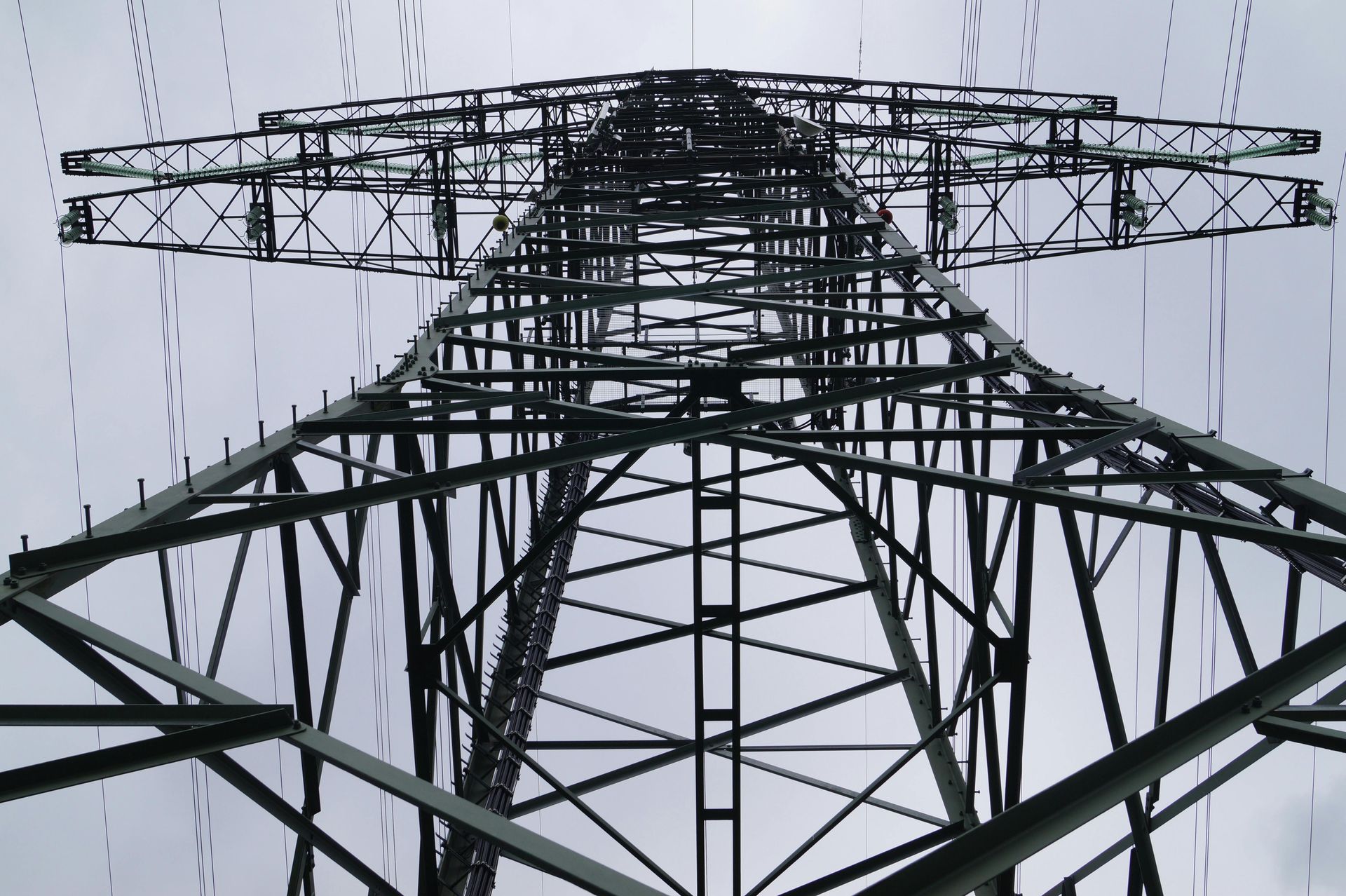
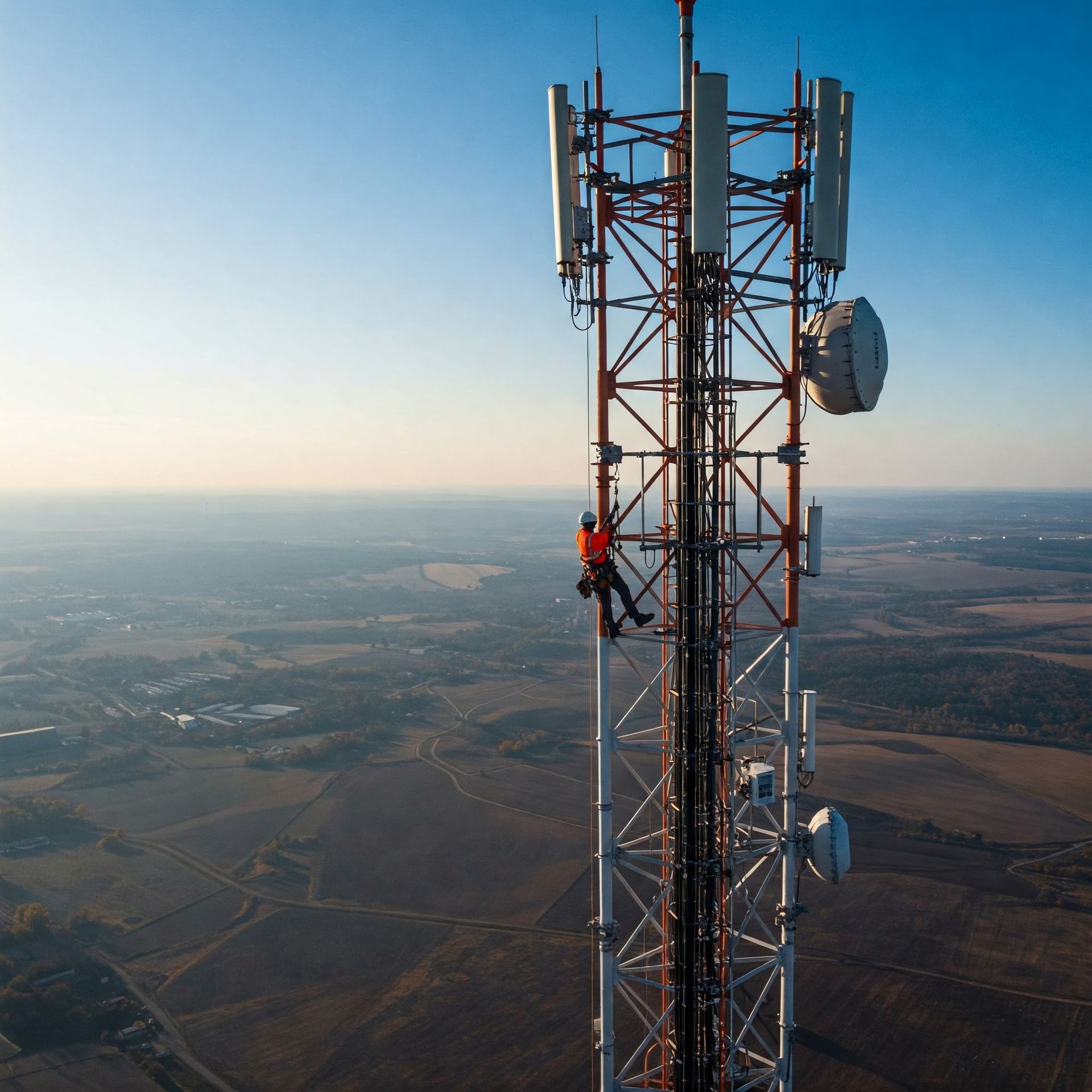
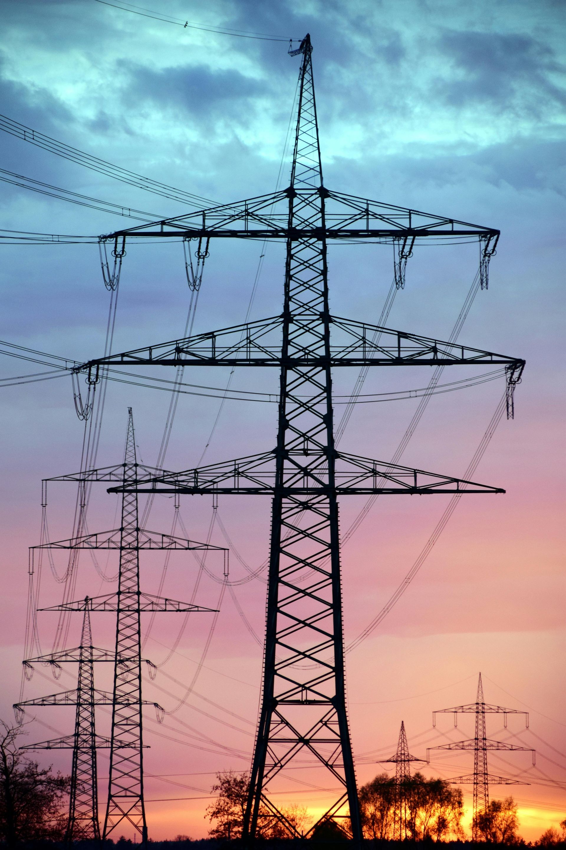
- Power Lines and Towers: Drones find issues like damaged wires or hot spots on electrical components. They ensure power systems work well.
- Pipelines: Drones monitor long stretches of pipelines. They look for leaks, corrosion, or damage from above.
- Roads and Highways: Drones survey road surfaces. They identify potholes, cracks, and general wear. This helps with road maintenance.
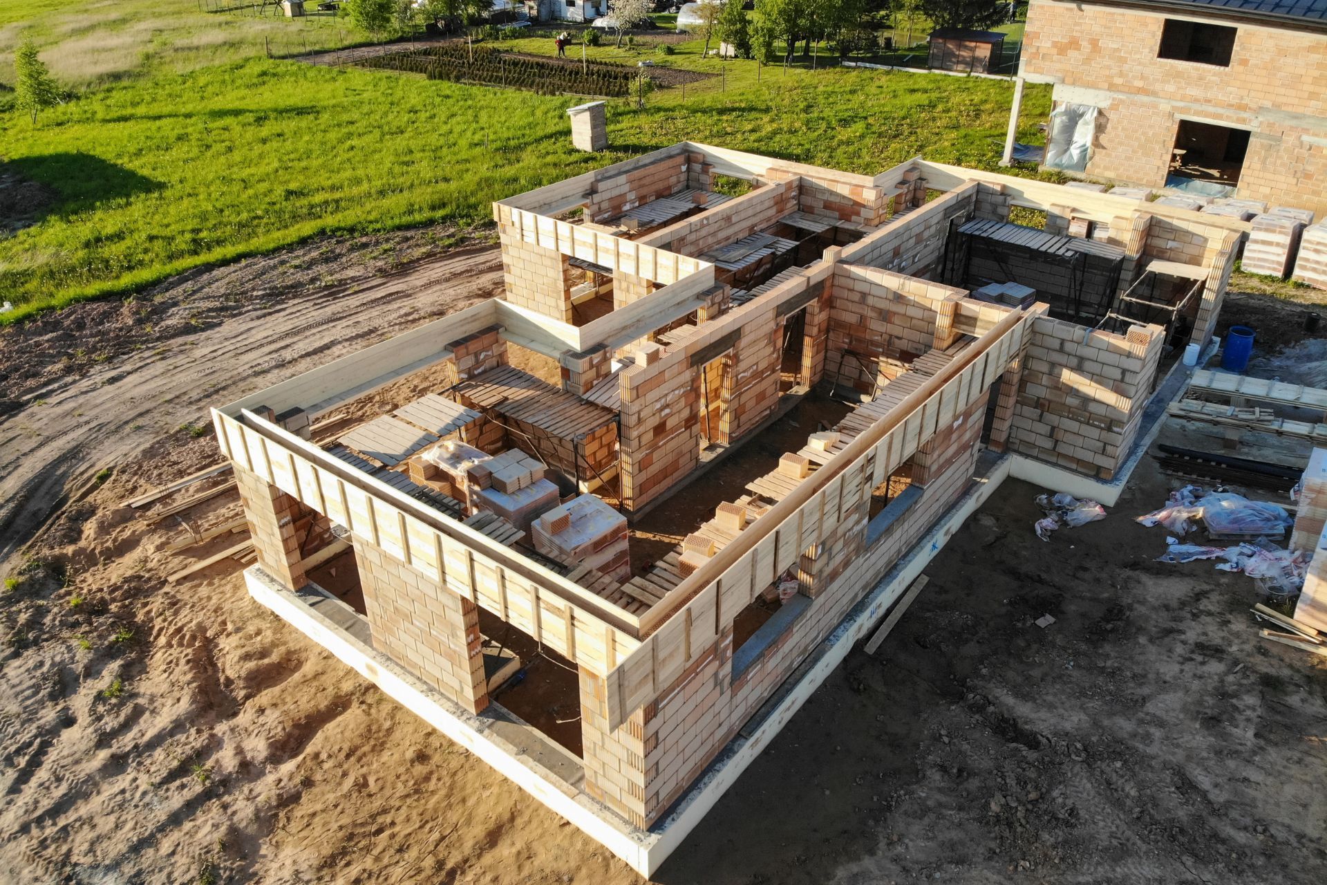
- Buildings and Facades: Drones assess roofs and building exteriors. They find damage or areas needing repair.
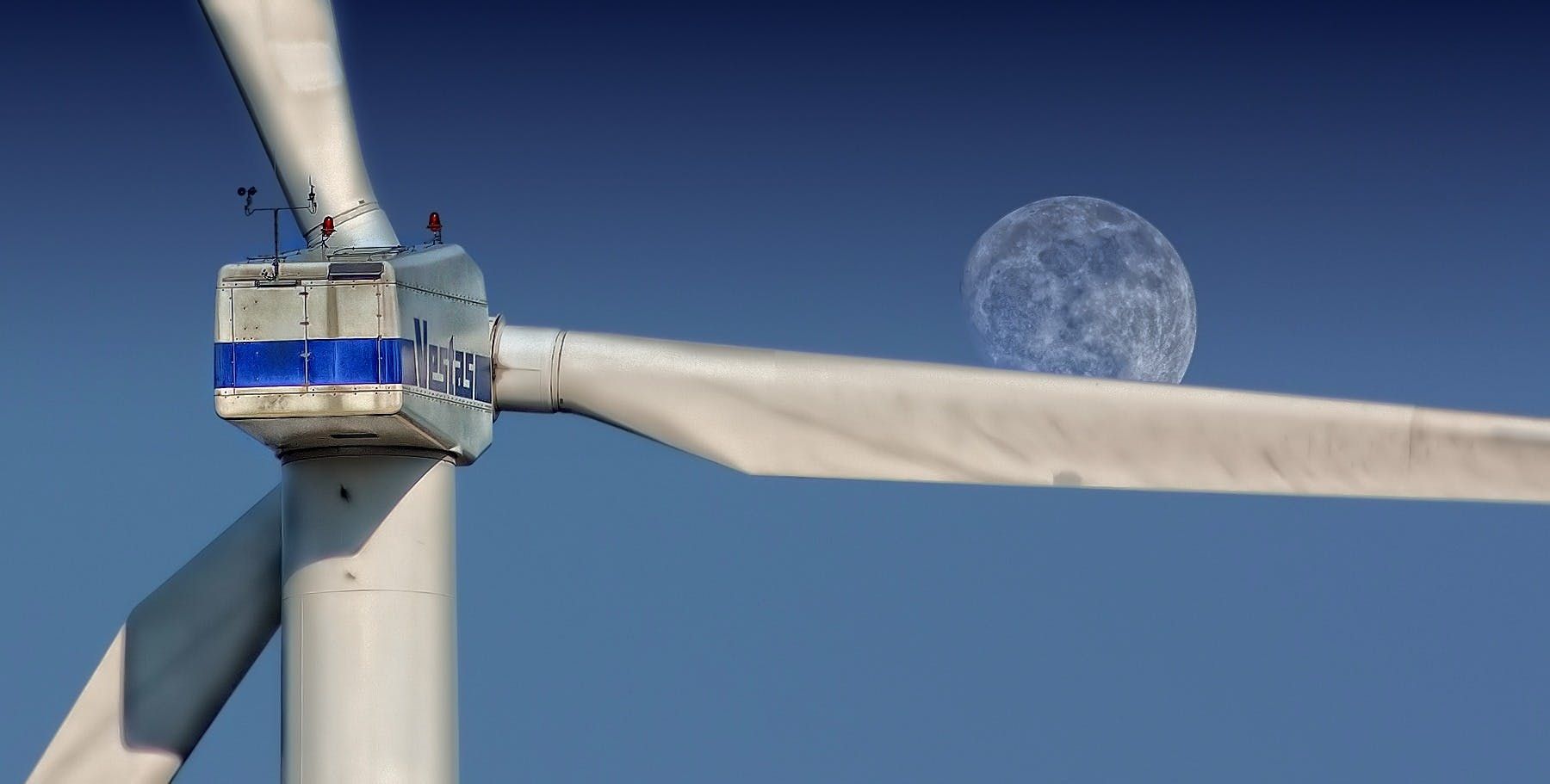
- Wind Turbines: Drones inspect turbine blades and towers. They find early signs of damage to prevent breakdowns.
Off The Ground Aerial Media: Your Partner for Infrastructure Inspections
Off The Ground Aerial Media provides advanced
drone inspection services. We help businesses maintain critical infrastructure. Our aerial inspections offer a safe, faster, and more cost-effective choice. We deliver detailed data for good decision-making.
We offer:
- High-resolution imaging and video
- Thermal imaging to detect temperature changes
- Customized inspection plans
- Inspections for buildings, towers, and roofs
- Construction progress monitoring
We use modern technology and
trained pilots. We focus on providing clear, useful results. When you need to inspect infrastructure, trust Off The Ground Aerial Media.
Learn more about our drone inspection services:
Off The Ground Aerial Media Drone Inspections