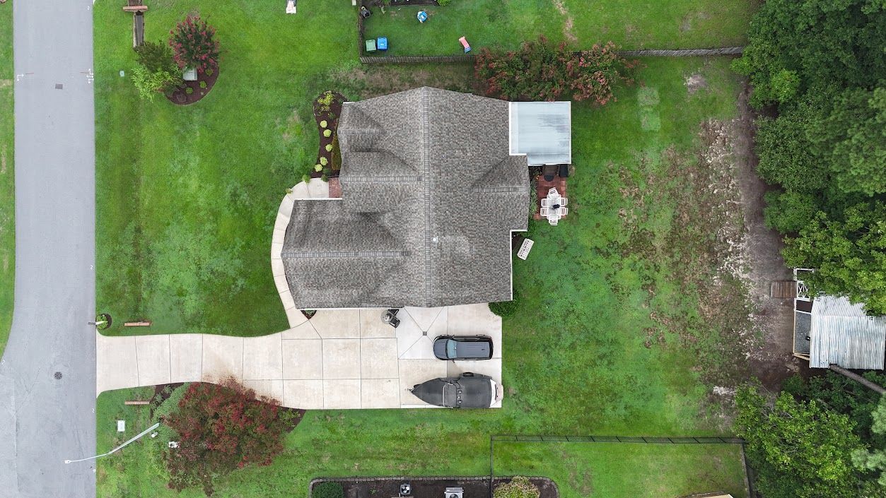
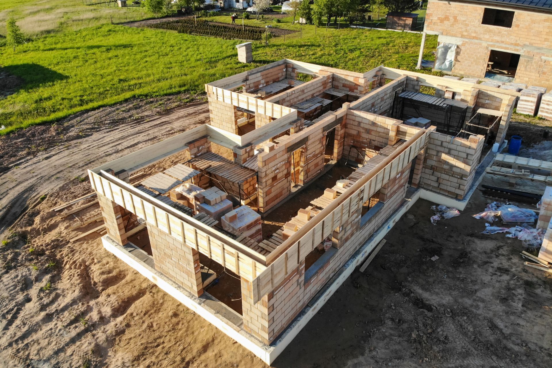
Nadir drone aerial photography offers a distinct view from above. This type of photography captures images directly downwards. The drone's camera points straight to the ground. This creates a true top-down perspective. This view is very useful for many projects, especially inspections.
What is Nadir Drone Aerial Photography?
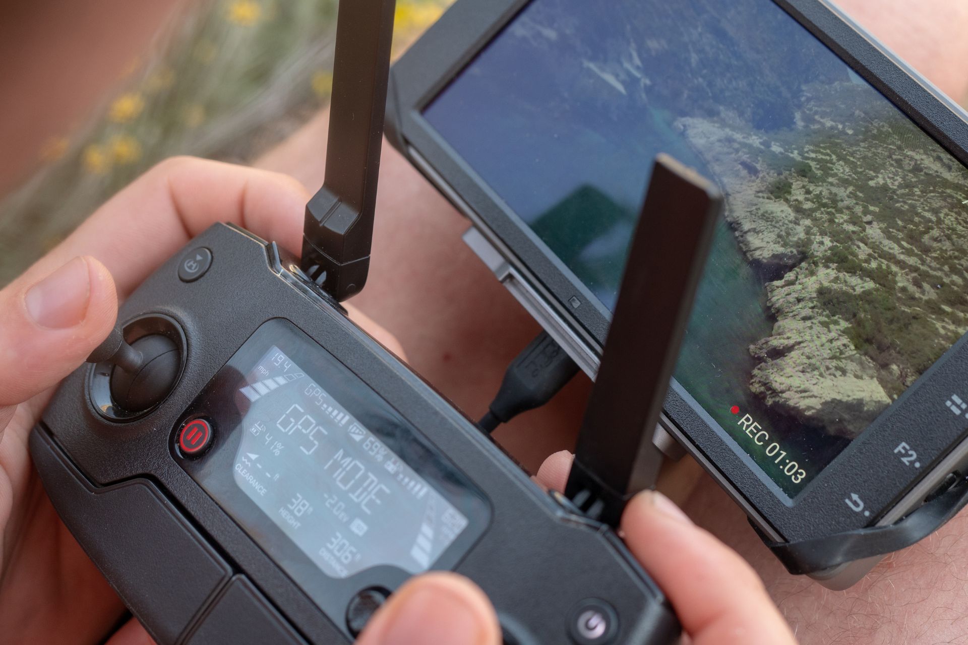
Nadir photography means the camera looks straight down. Imagine a bird flying directly over an object. The image it sees is a nadir view. Drones excel at this. They fly above an area and take pictures with the camera set at a 90-degree angle to the surface below.
This method provides distortion-free images. It shows objects in their true shape and size on the ground. This differs from angled or oblique shots, which show sides of objects. Nadir images give a flat, accurate map-like view.
Why Use Nadir Drone Aerial Photography for Inspections?
Nadir drone aerial photography is valuable for inspections. It helps professionals see details from a safe distance.
- Accuracy: Nadir images allow for precise measurements. You can measure distances, areas, and volumes accurately. This is important for construction sites or land surveys.
- Complete Coverage: Drones can cover large areas quickly. They capture every part of a roof, a solar panel array, or a large property. This ensures no detail is missed during an inspection.
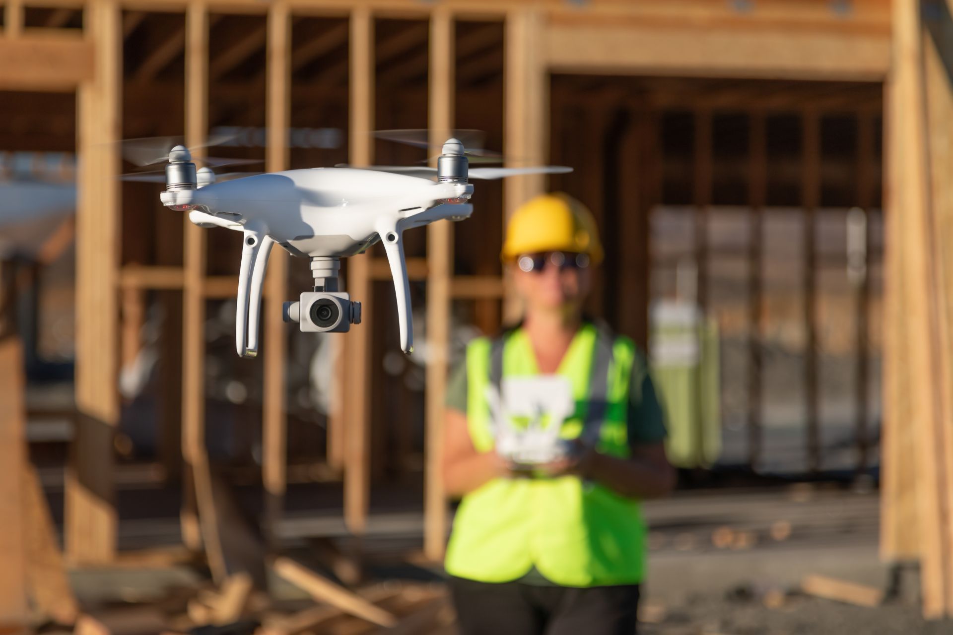
- Safety: Drones remove the need for people to climb on tall structures. This reduces risks during inspections of roofs, bridges, or industrial equipment. A drone pilot operates the drone safely from the ground.
- Consistency: The straight-down view provides consistent data over time. You can compare images from different dates easily. This helps track changes or monitor progress.
- Data for Mapping: Nadir images are good for creating maps. Professionals use them to build orthomosaics. An orthomosaic is a corrected image that is true to scale. It works like a precise map.
Common Uses for Nadir Drone Inspections
Many industries use nadir drone aerial photography for inspections:
- Roof Inspections: Drones find damage like missing shingles or leaks. They check the condition of commercial and residential roofs.
- Solar Panel Inspections: Drones identify faulty or dirty solar panels. This helps owners maintain peak energy production.
- Construction Site Monitoring: Drones track building progress. They check if work follows plans. They also spot problems early.
- Infrastructure Checks: Drones inspect bridges, towers, and pipelines. They look for cracks, wear, or other issues.
- Land Surveying: Drones create accurate maps of land. They help define property lines or plan new developments.
- Agriculture: Farmers use nadir images to check crop health. They identify areas needing water or fertilizer.
Off The Ground Aerial Media: Your Partner for
Nadir Drone Services
Off The Ground Aerial Media offers professional vertical drone photography services. We understand the specific needs of nadir imaging for inspections and mapping.
Our pilots use advanced drone technology to capture clear, precise top-down images.
We provide accurate data for your projects. Whether you need to inspect a roof, monitor a construction site, or map a large area, we help. Our focus is on safety, efficiency, and delivering useful results. We help you make informed decisions with high-quality nadir drone aerial photography and inspection data.
Contact Off The Ground Aerial Media to learn more about our services:
Off The Ground Aerial Media Vertical Drone Photography